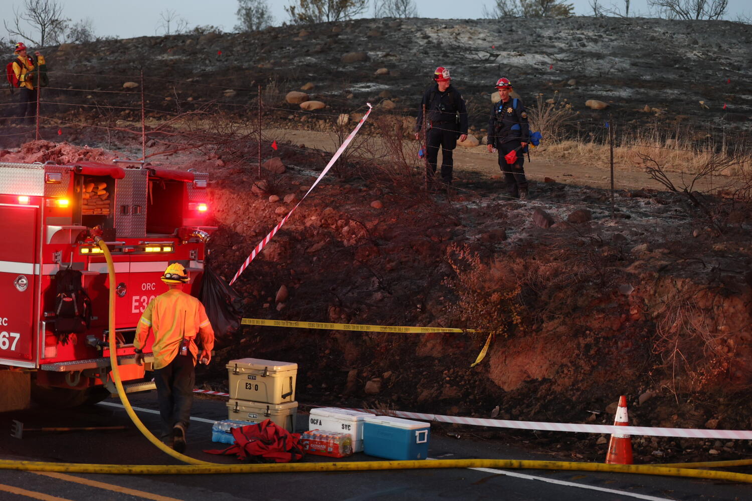
Wildfires intersecting metropolitan transportation networks represent high-consequence system failures where environmental volatility collides with dense urban infrastructure. When a brush fire forces the temporary closure of a major commuter artery like the Glendale Freeway while simultaneously a larger perimeter blackens hundreds of acres in Orange County, the event is rarely an isolated anomaly. Instead, it serves as a stress test of regional emergency response capacity, topographical risk management, and infrastructure resilience.
Analyzing these concurrent incidents requires moving past episodic journalism to examine the underlying mechanics governing urban-wildfire interfaces. The propagation of fires near high-density asphalt corridors exposes specific vulnerabilities in vegetation management, atmospheric draft dynamics, and traffic diversion logic.
The Physical Mechanics of Freeway-Adjacent Ignitions
Highways act as both firebreaks and fuel corridors. The open right-of-way offers a break in continuous chaparral canopy, yet the vehicular traffic passing through introduces high-probability ignition vectors ranging from discarded smoking materials to mechanical failures like dragging safety chains throwing sparks into dry roadside grasses.
Roadside Fuel Loading Dynamics
The microclimate immediately adjacent to concrete and asphalt surfaces accelerates the curing of fine fuels. Radiated heat from traffic and solar absorption by pavement dry out native grasses, invasive mustards, and non-native weeds faster than plants located deeper within the natural watershed. This creates a hyper-flammable ribbon running parallel to high-speed transit routes.
Wind Tunnel and Draft Effects
Freeway cuts through hillsides—such as those found along regional transit paths in Los Angeles and Orange counties—frequently act as topographical wind tunnels. When regional offshore wind events like the Santa Anas occur, these corridors channel and accelerate laminar wind flow. An ignition within a freeway cut experiences forced draft conditions, rapidly converting a localized spot fire into a crown-feeding front before municipal engines can deploy.
The Economic and Logistical Cost Function of Transit Disruption
Closing a primary arterial induces cascading network failures across regional logistics and commuter flows. The economic loss is a function of time, alternative capacity, and freight dependency.
Network Bottlenecking
Transportation grids operate on high capacity utilization during peak hours. When a critical connector is severed, traffic diversion forces vehicles onto secondary surface streets that lack the capacity to handle arterial volumes. This gridlock imposes two distinct operational constraints:
- Emergency Vehicle Impeded Mobility: Fire apparatus, mutual-aid engines, and medical response units find themselves trapped in the congestion generated by civilian evacuation and rerouting.
- Economic Friction: Supply chain continuity breaks down as commercial freight carriers experience delivery delays, burning excess fuel and violating operational hour constraints.
Resource Allocation Trade-offs
Simultaneous fires across multiple jurisdictions—such as a localized incident threatening a metropolitan freeway alongside a massive acreage burner in suburban Orange County—force resource-constrained incident commanders into triage decisions. Aerial suppression assets, specialized hotshot crews, and water tenders must be allocated based on immediate life-safety risk over property or infrastructure defense. When urban freeways are directly threatened, public safety mandates prioritizing highway clearance over perimeter containment on remote acreage, shifting the tactical balance of the broader regional response.
Structural Interventions for Corridor Hardening
Mitigating the recurrence of freeway-adjacent wildfire closures demands a shift from reactive suppression to proactive engineering and environmental management.
Vegetation management within the state-mandated right-of-way must transition from seasonal weed abatement to permanent soil sterilization or the installation of fire-resistant landscaping buffers. Replacing highly volatile invasive grasses with low-profile, high-moisture native succulents or rock-scaped fuel breaks adjacent to concrete barriers removes the ignition bridge between passing vehicles and hillside brush.
Smart traffic management systems must integrate real-time meteorological sensor arrays with automated variable-message sign networks. When wind velocity, humidity, and fuel moisture models cross critical hazard thresholds, automated speed restrictions and preemptive lane closures can reduce vehicular ignition risks while preventing sudden gridlock entrapment.
Regional transit planning must treat wildfire risk not as a seasonal emergency, but as a permanent variable in civil infrastructure design, modifying evacuation routing hierarchies before the next high-wind event tests the structural integrity of the urban edge.
Establish automated predictive closure protocols based on real-time wind vector telemetry rather than waiting for visual confirmation of roadside ignitions. Deploy prepositioned tactical strike teams at historically high-probability freeway cut bottlenecks during red flag warnings to eliminate transit delay windows entirely.