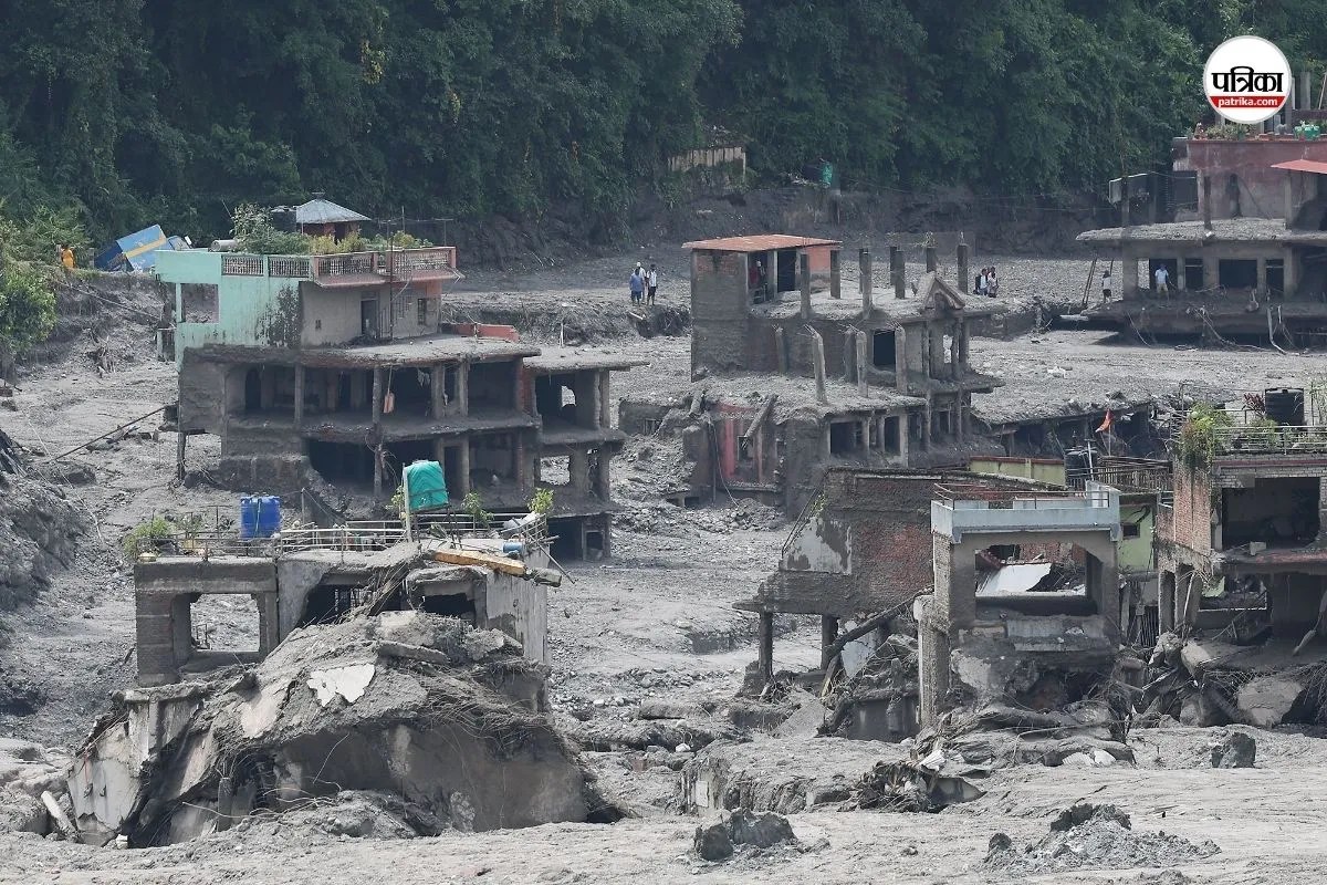
Disaster response models in high-altitude river basins rely on flawed assumptions of linear early-warning infrastructure. When a massive ice and rock mass breaks away from a peak like Langtang Lirung and drops thousands of meters into narrow gorges, traditional institutional warning networks face severe latency. The resulting flash floods move at speeds exceeding seventy kilometers per hour, reducing response windows from hours to mere minutes. Standard bureaucratic alert protocols, which require multi-tiered verification and top-down transmission, fail completely under these compression conditions.
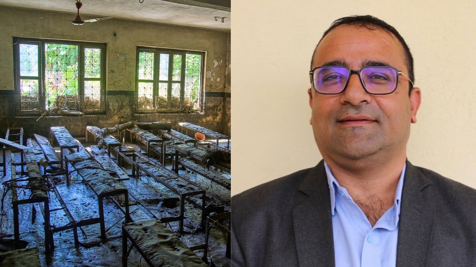
Analyzing the evacuation of 1,643 students at the Tribhuvan Trishuli Secondary School in Nuwakot reveals an entirely different operational architecture. Instead of relying on state-level telemetry or automated river gauges, the survival outcome was a product of decentralized point-to-point network redundancy and discretionary execution at the operational edge. For an alternative view, check out: this related article.
The mechanics of this successful evacuation can be broken down into three core operational variables:
Redundant Information Channels
Single-point dependencies create catastrophic bottlenecks in crisis management. In the Trishuli Valley event, institutional failure was averted because the warning system possessed parallel, asynchronous inputs. Information did not travel through a single municipal feed. Instead, the administration received concurrent distress inputs: an upstream peer communication describing total village displacement, a physical report from an on-site accountant regarding rising waters, and individual warnings brought by parents via private transport. This redundancy eliminated confirmation bias and forced an immediate shift from status-quo operations to emergency protocols. Related reporting on the subject has been provided by Al Jazeera.
Decentralized Edge Authority
Centralized command structures introduce fatal delays when communication lines degrade. Principal Rajendra Dawadi bypassed standard escalation chains by possessing localized execution authority. The operational blueprint required zero administrative sign-off to activate emergency pathways. By immediately deploying the physical school bell as an analog broadcast system and issuing direct routing instructions to inbound transport operators, the administration converted a high-ambiguity threat into a binary protocol: vertical evacuation.
Logistical Asset Reallocation
Crisis logistics require the immediate cessation of standard operational workflows. When the evacuation order was given, incoming logistical assets—specifically school transit fleets—were dynamically intercepted. Instructing inbound bus drivers to reverse course prevented vehicles from entering a collapsing bridge zone, while vertical foot-routing directed human capital away from riparian flood corridors toward elevated terrain anchored by durable topographical features like the local bodhi tree.
Despite these optimized operational choices, the systemic limits of individual heroism highlight the vulnerabilities inherent in the region's geography. The loss of two staff members who returned to peripheral residential or structural containment zones demonstrates that human friction and habituation remain persistent failure points even within otherwise successful evacuations.
Rebuilding institutional infrastructure in high-risk Himalayan corridors requires shifting capital investment away from vulnerable riparian rebuilding projects toward distributed, community-level sensor nodes and mandatory vertical evacuation mapping. Future resilience is not a function of concrete barriers placed in active flood plains, but of decentralized communication webs that empower local operators to act before formal state machinery can process the data.