Stand on the edge of Williston Lake in the chilling autumn air of northern British Columbia, and the first thing you notice is the silence. It is not the peaceful silence of an untouched wilderness. It is the heavy, loaded silence of a monument. Beneath that massive sheet of grey-blue water lies a valley that used to breathe.
We look at maps and see blue shapes. We call them lakes. But these are not the lakes born of retreating glaciers or slow, millennium-long geological shifts. These are triumphs of concrete, steel, and radical human ambition. Canada holds some of the largest bodies of freshwater on Earth, but its map was drastically redrawn in the mid-20th century. We didn't just discover water; we trapped it.
To understand the sheer scale of the ten largest man-made reservoirs in Canada is to understand a story of displacement, colossal engineering, and the quiet trade-offs of modern life. Every time a light switch flips in a Montreal high-rise or a Vancouver cafe, a flooded valley hundreds of miles away pays the bill.
The Weight of the Wilderness
Consider a hypothetical engineer named Robert. In 1968, Robert stood in the remote wilderness of British Columbia, watching the Peace River get choked off by the rising wall of the W.A.C. Bennett Dam. He wasn't just building a structure; he was rewriting geography.
When the floodgates closed, Williston Lake began to fill. It didn't happen overnight. It crept. It swallowed pine trees, hunting trails, and ancient paths. Today, Williston stands as the largest man-made lake in Canada, a staggering expanse covering over 1,700 square kilometers.
Scale is difficult to grasp in the abstract. Let us ground it. If you were to drive from the southern tip of Williston Lake to its northern reaches, you would cover a distance greater than the entire width of some European nations. It is a watery inland sea trapped inside a mountain trench.
But the creation of such a giant leaves scars. For the Tsay Keh Dene and Kwadacha First Nations, the rising waters were not a technological marvel. They were a catastrophe that erased homes and burial grounds under a rising tide of silt and driftwood. When we marvel at the engineering, we must also look at the high-water mark of what was lost.
The Northern Powerhouses
Travel eastward across the subarctic shield, and the story scales up to an almost unimaginable degree. In northern Quebec, the La Grande complex represents human engineering operating at a planetary scale.
The La Grande-3 Reservoir and its sibling, the Robert-Bourassa Reservoir (formerly La Grande-2), are not merely lakes. They are the battery packs of northeastern North America. Together, these bodies of water drown thousands of square kilometers of the Canadian Shield.
- Robert-Bourassa Reservoir: Spanning nearly 2,800 square kilometers of water surface when combined with its broader network, it feeds an underground powerhouse carved directly into the granite bedrock.
- La Grande-3: A sprawling maze of flooded islands and submerged taiga that keeps the turbines spinning through brutal sub-zero winters.
The water here feels different. It lacks the soft edges of a natural lake. The shorelines are often sharp lines of dead, bleached trees—the "ghost forests" that refuse to rot in the frigid northern currents. It is a stark reminder that these waters are working. They are pushed, pulled, and regulated by computers in Montreal, rising and falling based on peak electrical demand during winter storms.
The Accidental Seas of Ontario and Manitoba
Not all engineering marvels are born in the mountains or the deep subarctic. Some were carved out of the rocky, lake-splattered expanse of Ontario and the flat windswept plains of Manitoba.
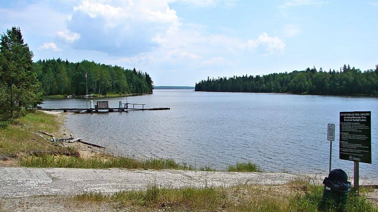
Take Lac Seul in northwestern Ontario. While it was a natural lake initially, human intervention via the Ear Falls dam in the 1930s raised the water levels significantly, transforming it into a massive reservoir designed to regulate the flow of the English and Winnipeg rivers. The result? A jagged, sprawling labyrinth of over a hundred thousand hectares of water, where fishermen now cruise over old logging roads and campsites that slipped beneath the surface nearly a century ago.
Further west, Manitoba’s Southern Indian Lake tells a similar, hauntingly beautiful story. Diverted in the 1970s to feed the Nelson River hydroelectric projects, the lake rose by several meters. The local community of South Indian Lake saw their crystal-clear waters turn turbid, as the permafrost shorelines melted and collapsed into the newly expanded basin. It is a massive body of water, rich with whitefish, but its beauty is shadowed by the memory of a landscape forced to change its shape overnight.
The True Cost of Current
It is easy to get lost in the numbers. We can talk about the Lake Diefenbaker reservoir in Saskatchewan, holding back the South Saskatchewan River to turn a dust bowl into fertile farmland. We can list Caniapiscau in Quebec, an artificial ocean that swallowed two natural lakes and a river to create a reservoir larger than many small islands.
But lists do not capture the vertigo of standing on a dam face, looking down hundreds of feet at a river that has been tamed into a trickle, while behind you, an ocean presses against the concrete.
The human mind struggles to connect the simple act of plugging in a phone with the reality of a flooded valley in the Canadian north. We want clean energy, but clean does not mean bloodless. The ten largest man-made lakes in Canada are monuments to a time when humanity believed it could bend nature to its will without consequence.
Now, we know better. We watch the shorelines erode. We manage the mercury levels that leach from the flooded soil into the fish. We look at the vast, glassy surfaces of these artificial seas and realize that we didn't just build reservoirs. We traded a piece of the earth's soul for power.
The next time you look at a map of Canada, look closely at those massive blue blotches in the deep north. They are beautiful, yes. But they are also scars, deeply etched into the crust of the continent, holding back millions of tons of water and memories that will never see the sun again.