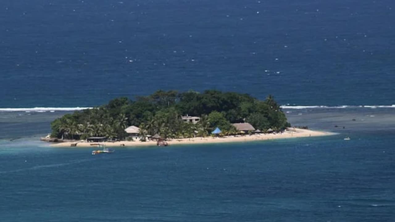
Every time the USGS ticker flashes a magnitude 6.9 earthquake off the coast of Vanuatu, Western newsrooms copy-paste the exact same breathless headline. Massive Quake Triggers Tsunami Warning. Readers click, imagine walls of water swallowing South Pacific resorts, and then forget about it twenty minutes later when the Pacific Tsunami Warning Center cancels the alert.
That entire media cycle is built on a dangerous misunderstanding of how subduction zones actually kill people.
When a 6.9 tremor shakes the New Hebrides Trench and produces nothing more than a 10-centimeter ripple on a tide gauge, journalists treat it like a lucky escape. They frame the canceled warning as a close call. In reality, a magnitude 6.9 event in Vanuatu is just Tuesday. Treating a routine upper-6 earthquake like an apocalyptic near-miss doesn't inform the public—it actively trains coastal communities to ignore the sirens when a real killer actually arrives.
If you want to understand seismic risk in the Southwest Pacific, stop staring at headline magnitude numbers. The real threat isn't the loud, headline-grabbing 6.9 that rattles windows in Port Vila. The real threat is the silent, slow-slipping mechanics of the plate boundary that you never hear about until the water has already receded from the reef.
The 6.9 Threshold Illusion
Mainstream disaster coverage suffers from a severe case of magnitude fixation. Editors see a number approaching 7.0 and assume linear escalation. They assume a 6.9 is roughly three-quarters as destructive as a 9.0.
That math is completely backwards.
The moment magnitude scale is logarithmic. Every whole-number jump represents roughly 31.6 times more released energy. The leap from a magnitude 6.9 to a magnitude 8.9 isn't a minor step up; it is a thousand-fold explosion in physical force. More importantly, for generating a destructive, ocean-crossing tsunami, a 6.9 earthquake usually lacks the physical footprint required to displace enough water.
To push a lethal wall of water toward distant coastlines, the seafloor has to move vertically over a massive area. A typical 6.9 rupture breaks a patch of fault roughly 30 to 40 kilometers long. Even if that fault slips by a meter or two, the resulting bulge on the ocean surface disperses rapidly as it travels outward. By the time those waves hit neighboring islands, they are often indistinguishable from normal high-tide surge.
I have sat in emergency operations centers watching junior analysts sweat bullets over 6.8 and 6.9 alerts while seasoned geophysicists barely look up from their coffee. The veterans know the physics. Unless a 6.9 occurs at an extraordinarily shallow depth right beneath a steep underwater canyon—triggering a localized submarine landslide—it simply does not possess the geometric scale to generate a regional catastrophe.
Yet the automated warning protocols remain hair-trigger. Because seismic networks prioritize speed over nuance during the first five minutes after a rupture, any shallow thrust earthquake above 6.5 near a trench automatically triggers a preliminary threat message. The media grabs that automated bulletin, strips out the technical caveats, and sells panic.
Why Vanuatu Eats Earthquakes for Breakfast
To understand why a 6.9 in Vanuatu is fundamentally different from a 6.9 in California or Turkey, you have to look at the tectonic engine underneath the archipelago.
Vanuatu sits directly atop the New Hebrides subduction zone, where the Australian Plate dives violently beneath the Pacific Plate. Unlike the sluggish San Andreas Fault, which creeps along at roughly 30 to 50 millimeters per year, the Australian Plate slams into the Vanuatu arc at rates exceeding 100 to 160 millimeters annually in its central and northern segments.
Think about what that convergence rate means in practice. The crust here is constantly fracturing, bending, and snapping. Between 1900 and today, the Vanuatu region has logged dozens of earthquakes larger than magnitude 7.0, including multiple events exceeding 7.5. A magnitude 6.9 isn't an anomaly; it is the baseline background noise of one of the fastest-moving tectonic plate boundaries on Earth.
Local architecture and coastal geography reflect this reality. Traditional Ni-Vanuatu construction uses lightweight timber, bamboo, and woven natangura thatch—materials that flex during violent shaking rather than pancaking like unreinforced concrete. Even modern infrastructure in Port Vila and Luganville is built with the expectation of frequent, violent lateral motion.
When foreign reporters cover a 6.9 in Vanuatu through the lens of urban disaster journalism, they project mainland fragility onto an island chain forged by constant seismicity. They ask why buildings didn't collapse and why thousands weren't displaced. The answer is simple: the islands have already weeded out anything that can't survive a 6.9.
The Crying Wolf Problem in the South Pacific
There is a steep, measurable price to pay for turning every routine tremor into a global tsunami headline. Seismologists and emergency managers call it warning fatigue, and in small island developing states, it can be lethal.
Consider the logistics of a tsunami evacuation on an island like Efate or Espiritu Santo. When the Vanuatu Meteorology and Geo-Hazards Department (VMGD) issues a warning following an automated Pacific Tsunami Warning Center (PTWC) bulletin, coastal villages have to move. Parents grab children, elders are carried up steep, muddy jungle tracks to higher ground, and fishing boats are abandoned.
Now imagine doing that three or four times a year for earthquakes that produce a 15-centimeter swell.
After the third or fourth false alarm—or what locals perceive as a false alarm because the ocean didn't visibly surge—compliance drops off a cliff. People stop climbing the hills. They stay by the shore to watch the tide gauges on their phones, waiting for visual proof before they move.
And visual proof is a death sentence in near-field tsunami zones.
In Vanuatu, the trench sits just 50 to 100 kilometers off the western coastlines of the main islands. When a true megathrust rupture occurs—a magnitude 8.0 or higher—the first wave doesn't take hours to arrive like it does when a Chilean quake hits Japan. It arrives in ten to fifteen minutes. If coastal residents wait for a second confirmation bulletin, or wait to see the water pull back from the coral reef, they are already out of time.
By amplifying every brief, precautionary 6.9 advisory into breaking global news, the media reinforces the dangerous illusion that tsunami warnings are just bureaucratic drills.
The Real Killers Nobody Reports On
While news desks obsess over standard 6.9 subduction quakes, they completely miss the two seismic phenomena in Vanuatu that actually keep tsunami scientists awake at night.
1. Tsunami Earthquakes (The Slow Ruptures)
Standard earthquakes radiate high-frequency seismic waves that shake buildings violently, waking people up and sending them running for high ground naturally. A "tsunami earthquake"—a specific geological classification first defined by seismologist Hiroo Kanamori in 1972—behaves like a stealth bomber.
These events occur near the very shallow, sediment-rich toe of the subduction trench. Because the rock there is weak and saturated with water, the fault slips slowly—taking two or three times longer to rupture than a normal earthquake of the same size. That slow motion generates very little high-frequency shaking. Residents on shore might feel only a gentle, rolling sway that doesn't even knock a glass off a table.
Yet because the slip happens right at the shallow seafloor, it efficiently lifts a massive column of water. A slow-rupturing magnitude 7.2 tsunami earthquake can generate waves just as destructive as a conventional magnitude 8.2, without ever giving coastal residents the visceral, terrifying shaking that normally triggers self-evacuation.
2. Submarine Landslides and Volcanic Flank Collapses
Vanuatu isn't just a trench; it is a chain of hyper-active volcanoes, including Ambrym, Lopevi, Yasur, and the submarine volcano Kuwae. Steep volcanic slopes plunge thousands of meters straight down into the ocean basins.
A moderate earthquake—even a 6.2 or a 6.9 that poses zero direct tectonic tsunami threat—can destabilize millions of tons of waterlogged volcanic sediment clinging to an underwater slope. When that sediment lets go, it triggers a localized, high-energy tsunami that strikes nearby islands within minutes, completely bypassing standard magnitude-based warning algorithms.
We saw the devastating mechanics of non-tectonic Pacific tsunamis during the 2022 Hunga Tonga–Hunga Haʻapai eruption, and during the 2018 Anak Krakatau collapse in Indonesia. In both cases, traditional earthquake magnitude scales were useless for predicting the waves.
What Everyone Gets Wrong About Tsunami Warnings
If you look at search trends every time a quake hits the South Pacific, the same panicked questions dominate: How big of an earthquake causes a tsunami? and Why was the tsunami warning canceled so fast?
Both questions expose a fundamental misunderstanding of how modern warning systems operate.
First, there is no magic magnitude cutoff. While emergency protocols generally use 6.5 or 7.0 as an initial screening threshold, tsunami generation depends on four variables working together:
- Focal Depth: Earthquakes deeper than 70 kilometers rarely deform the ocean floor enough to move water. A magnitude 7.5 at 200 kilometers depth is harmless to coastlines; a magnitude 7.3 at 10 kilometers depth is a serious threat.
- Fault Mechanism: Strike-slip earthquakes—where two blocks of crust grind horizontally past one another—move very little water. Reverse (thrust) and normal faults—where the seafloor snaps vertically upward or drops downward—act like giant paddles pushing the ocean surface.
- Water Depth at the Epicenter: Displacing the seafloor under 4,000 meters of water stores vastly more potential energy than displacing the seafloor in a shallow bay.
- Rupture Directivity: Tsunamis do not radiate equally in all directions like ripples from a pebble. They beam outward perpendicular to the strike of the fault line. A massive rupture in Vanuatu might aim its primary energy beam straight toward New Caledonia or Fiji while sparing islands sitting off the ends of the fault.
Second, rapid cancellations aren't mistakes; they are proof the system works.
When a quake strikes, seismometers detect the fast-moving P-waves within seconds, allowing computers to calculate location and preliminary magnitude before the destructive S-waves even finish shaking the region. The PTWC issues an immediate threat assessment based on worst-case assumptions for that magnitude.
Over the next 15 to 30 minutes, two critical things happen:
- Geophysicists invert the full seismic waveform to determine the centriod moment tensor—the exact geometry and vertical slip of the fault.
- Pressure sensors on the deep ocean floor (DART buoys) and coastal tide gauges measure whether an actual wave is propagating through the water column.
The moment those DART buoys report flat water, or the waveform analysis reveals a deep or strike-slip rupture, the warning is canceled. Calling a 20-minute cancellation a "failed warning" is like complaining that a smoke detector turned off after you burned toast.
The Uncomfortable Truth About Living on the Ring of Fire
There is an obvious downside to arguing against hair-trigger disaster coverage: what if the 6.9 is just a foreshock?
This is the one scenario where caution isn't paranoia—it is survival math. Roughly 5 to 10 percent of major earthquakes are preceded by smaller foreshocks within hours or days. When the catastrophic 2011 Tōhoku magnitude 9.1 earthquake devastated Japan, it was preceded two days earlier by a magnitude 7.3 foreshock that triggered a minor, largely forgotten tsunami warning. Many residents evacuated for the 7.3, saw small waves, and assumed the danger had passed—making them tragically complacent 48 hours later when the mainshock hit.
In Vanuatu, a 6.9 rupture changes the Coulomb stress on adjacent segments of the New Hebrides Trench. While the 6.9 itself won't wash away Port Vila, it loads extra tension onto neighboring locked patches of the fault. For the next 72 hours after any upper-6 tremor, the statistical probability of a magnitude 7.5+ event jumps sharply above the daily background rate.
That is the story reporters should be telling. Instead of writing breathlessly about a brief tsunami advisory that disappeared before the article was even published, coverage should focus on the 72-hour aftershock window and the structural resilience of the islands.
How to Actually Read a Seismic Alert
If you travel in the South Pacific, manage coastal assets, or simply want to stop falling for clickbait disaster journalism, ignore the headline and check four data points on the raw USGS and PTWC bulletins:
- Check the Depth First: Look for the hypocenter depth in kilometers. If it is deeper than 70 km, close the tab. Even an 8.0 at 150 km depth won't generate a destructive tsunami.
- Look for the Focal Mechanism ("Beachball" Diagram): On the USGS event page, check the moment tensor. If the fault is pure strike-slip, vertical seafloor displacement is negligible. You are looking for pure thrust (reverse) faulting at shallow depths.
- Read the DART Buoy Confirmation, Not the Initial Threat: Initial PTWC messages are algorithmic projections based purely on earthquake size. Wait for the updated bulletin that cites actual sea-level observations from Deep-ocean Assessment and Reporting of Tsunamis (DART) stations.
- Respect the "Ground Shaking" Rule Locally: If you are ever physically standing on a coastline in Vanuatu, Tonga, Indonesia, or Chile and feel shaking so strong you cannot stand up—or gentle, rolling shaking that lasts longer than 45 seconds—do not check your phone for a PTWC bulletin. Walk uphill immediately.
The next time a 6.9 earthquake rattles Vanuatu and triggers a 15-minute tsunami advisory, spare yourself the manufactured panic. The ocean isn't rising to swallow the South Pacific; the Australian Plate is just doing what it has done every few months for millions of years—grinding relentlessly westward, one routine snap at a time.


