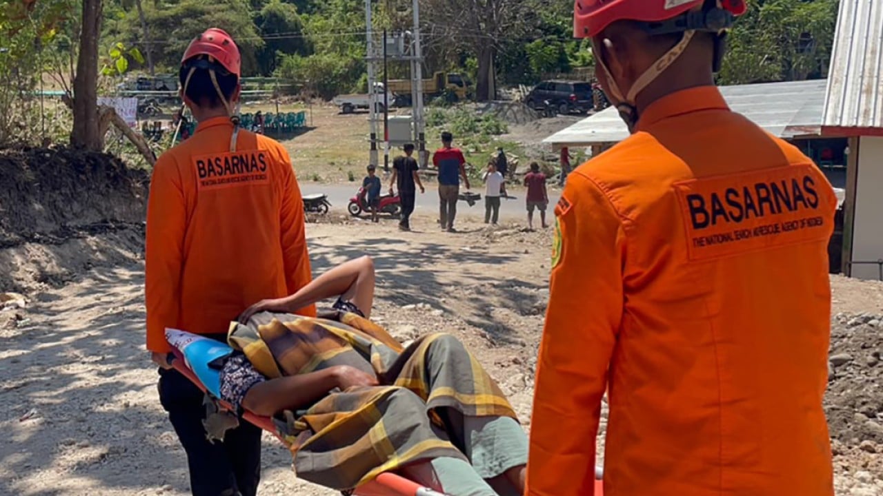
The recent sequence of seismic activity in Indonesia’s Flores region represents a high-consequence disruption to regional infrastructure, requiring a transition from reactive disaster management to structural risk mitigation. On August 15, 2026, a magnitude 7.7 earthquake impacted six regencies, followed by a magnitude 5.9 aftershock on August 17. Current data indicates 54 fatalities, 199 injuries, and nearly 10,000 displacements. This event exposes systemic vulnerabilities in mountainous terrain management and highlights the operational bottleneck created by geologically constrained transit corridors.
The Physics of Cascade Failure
Seismic events are rarely singular, isolated occurrences. They operate as a chain of kinetic energy releases. The primary 7.7-magnitude shock functions as the initial structural stressor, while subsequent aftershocks—such as the 5.9-magnitude tremor—act as secondary fatigue stressors.
In Flores, the primary failure mode is geomorphological instability. The island’s mountainous topography means that earthquakes of this intensity trigger mass-wasting events, specifically landslides. These landslides function as force multipliers for logistical failure. When the 700-km Trans-Flores Highway is obstructed, the geography effectively segments the island into isolated data and resource pockets. The tactical difficulty in this scenario is not just the initial damage to 2,403 homes, but the inability to deploy heavy machinery for debris removal due to the disruption of transport networks.
Resource Allocation and Logistical Constraints
The effectiveness of disaster response is governed by the speed of the "golden hour" in emergency medicine and the "golden days" in civil engineering. In the Flores context, the response architecture is currently facing three specific constraints:
- Topographical Isolation: The regencies of Manggarai, East Manggarai, and Nagekeo represent high-altitude environments where access is limited by the stability of the primary arterial road system.
- Infrastructure Fragility: Damage to 36 health facilities and nearly 100 educational centers creates a secondary crisis: the loss of command-and-control nodes. When local hospitals become patients themselves, the triage capacity for the 199 injured drops significantly.
- Communication Degradation: Power outages and network signal failures remove the ability to perform centralized situational awareness. Without real-time data, rescue assets are deployed blindly, leading to inefficient resource allocation.
The Dynamics of Displacement
With 9,963 people currently in temporary shelters or outdoors, the psychological and physical burden on the population is measurable. Residents remain exposed to "fear-induced displacement." Even in areas where structural damage to homes is classified as slight (532 homes), fear of aftershocks prevents re-entry. This behavior is a rational response to the high number of recorded aftershocks—at least 995—which create a persistent state of instability.
Strategically, the state of the housing stock provides a baseline for future mitigation. With 1,543 homes severely damaged, the economic cost of reconstruction will be concentrated in these specific regencies. The objective for local disaster management agencies is to move from temporary shelter logistics to rapid structural assessments, which determine whether a structure can be safely re-occupied or must be condemned to prevent future casualties during secondary tremors.
Operational Strategy for Seismic Resilience
To mitigate the impact of future seismic events in high-risk zones like Flores, the focus must shift toward hardened infrastructure and decentralized resilience.
- Geotechnical Hardening: Investment must prioritize the stability of arterial road networks. This involves soil stabilization and the installation of early-warning geotechnical sensors along the Trans-Flores Highway to detect slope movement before full failure occurs.
- Decentralized Emergency Nodes: Relying on large, centralized hospitals is a liability. Resilience requires the distribution of medical supplies and communications gear into hardened, satellite-linked local depots that can operate independently during a total grid failure.
- Seismic-Resilient Modular Architecture: Future building codes must emphasize non-rigid materials and low-mass construction techniques. In high-seismic zones, the goal is to decouple the building’s structural integrity from the shifting tectonic plate.
- Real-time Data Integration: Automating the flow of information between seismic monitoring stations and local authorities ensures that tsunami alerts and aftershock warnings are distributed to residents via redundant channels, preventing the panic-driven egress that creates secondary risks on unmonitored roads.
The strategic play for authorities over the next 72 hours is the systematic transition from search-and-rescue to infrastructure stabilization. Prioritize the clearing of the Trans-Flores Highway, not merely for transit, but as a prerequisite for the delivery of power-generation units and telecommunications relay equipment. Restore the flow of information and resources to the isolated regencies, then execute a zone-by-zone structural audit to determine the threshold for safe re-entry.