On May 31, 1970, a massive offshore earthquake triggered an unprecedented catastrophe in Peru's Callejón de Huaylas valley, sending an 80-million-ton wall of ice, mud, and rock hurtling down the north peak of Mount Huascarán at nearly three hundred miles per hour. In less than four minutes, the thriving tourist city of Yungay was completely erased from the map, burying roughly twenty-five thousand residents alive and leaving behind a silent, gray monument of hardened debris.
This disaster remains the deadliest glacier-related event in recorded human history, yet it was not an isolated anomaly. Nearly three decades earlier, in 1941, a glacial lake outburst flood originating from Lake Palcacocha obliterated a third of the nearby city of Huaraz, killing thousands. These tragedies forced a radical reassessment of how scientists understand high-altitude hazards, proving that mountain ranges are not static monuments of stone, but dynamic, highly unstable systems capable of sudden, catastrophic failure.
The Anatomy of a High-Altitude Catastrophe
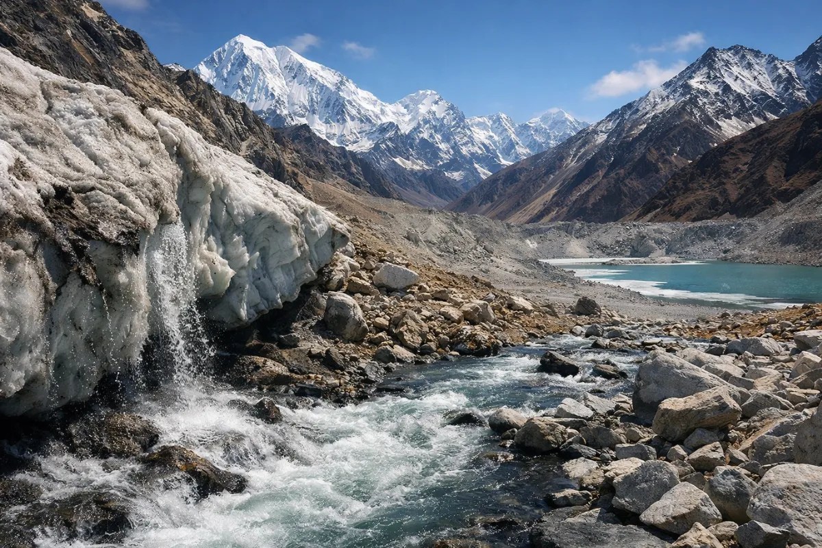
Understanding why these disasters occurred requires looking closely at the specific geography of the Cordillera Blanca. This mountain chain contains some of the highest and steepest tropical glaciers on Earth. As ice masses retreat under warming atmospheric conditions, they leave behind precarious moraine dams—loose walls of earth and rubble pushed forward by centuries of glacial advance.
When a sudden trigger occurs, such as a major seismic tremor or a massive serac collapse (where a massive block of glacial ice breaks off), the consequences are immediate and violent.
- The Trigger Phase: A high-magnitude tectonic shift or ice mass failure destabilizes millions of tons of frozen material resting on near-vertical slopes.
- The Liquefaction Zone: As the falling ice and rock plunge down the mountain, they mix with superficial snowpacks, glacial lakes, and saturated valley soils.
- The Momentum Multiplier: The debris flow picks up speed and mass, transforming into a dense, destructive slurry that acts like liquid concrete, traveling miles beyond the base of the peak.
In 1970, the Ancash earthquake provided the kinetic jolt needed to detach an entire section of Huascarán's north face. Witnesses reported a sound resembling artillery fire before the mountain seemed to dissolve. Because the region's valleys were densely populated centers of agriculture and commerce, the velocity of the avalanche left zero margin for evacuation.
Beyond the Shockwave: The 1941 Precedent
While the 1970 disaster is remembered for its sheer mortality rate, the 1941 Huaraz flood exposed a different, equally terrifying mechanism of destruction: the Glacial Lake Outburst Flood, commonly known as a GLOF.
Unlike earthquake-triggered avalanches, GLOFs occur without warning when natural moraine dams holding back millions of cubic meters of meltwater fail structurally. At Lake Palcacocha, an avalanche of ice crashed into the basin, generating a massive displacement wave that breached the fragile moraine walls. A wall of water tore down the Cojup river valley, hitting Huaraz with staggering force.
The disaster exposed a critical blind spot in regional development. Communities historically settled in valley floors because of fertile soil and abundant water access, entirely unaware that the water source itself represented an existential threat hanging thousands of meters above them.
The Long Road to Modern Mitigation
The recurrence of these disasters catalyzed a global shift in glaciology and disaster risk reduction. Following the 1970 tragedy, the Peruvian government established specialized agencies dedicated to monitoring high-altitude water bodies, pioneering early engineering techniques to artificially drain dangerous glacial lakes through tunnels and siphon systems.
Engineers began actively lowering water levels in high-risk zones like Palcacocha, installing monitoring stations, and mapping vulnerable hazard paths across the Andes. These measures transformed local safety protocols, turning the Cordillera Blanca into a living laboratory for hazard mitigation.
Yet, the danger has not vanished. As global temperatures continue to recede alpine ice fields, new glacial lakes are forming rapidly across the Andes and other mountain ranges worldwide. Modern researchers utilize satellite telemetry and automated sensor networks to track shifting moraines in real time, attempting to stay ahead of a landscape that is constantly reshaping itself. The ghost towns of Yungay and the scarred valleys of Huaraz stand as permanent reminders that humanity ignores the shifting dynamics of high-altitude ice at its own peril.
How One Avalanche Killed 30000 People In A Day
This archival breakdown provides a visual and historical look at the mechanics behind the catastrophic 1970 Huascarán avalanche.
http://googleusercontent.com/youtube_content/1


