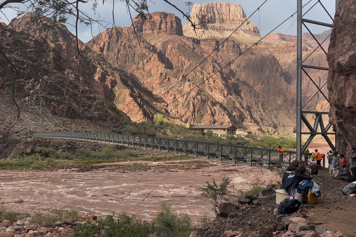
High-consequence hydrological events in arid topographies are governed by strict physical variables rather than random meteorological anomalies. Evaluating extreme runoffs within the Colorado River basin requires examining the conversion rates of localized precipitation into high-velocity debris flows. The primary driver behind catastrophic water displacement in these environments is the intersection of extreme rainfall intensity, impermeable canyon stratigraphy, and the firehose effect where cliffside torrents mobilize loose talus into high-density slurry.
The mechanics of these flash floods operate through a distinct sequence of energy transfers. When convective storms associated with the North American Monsoon dump high volumes of water onto sparse, baked soils over short durations, infiltration rates approach zero. Surface runoff accelerates down steep gradients exceeding the twenty-degree threshold required for mass wasting. As water cascades over vertical or near-vertical cliffs, it impacts accumulated debris fans composed of Hermit Shale and fractured rock. This kinetic impact liquefies the sediment bed, transforming standard water flow into a debris flow characterized by a high volumetric concentration of boulders, mud, and organic matter.
Predicting the spatial distribution of these hazards presents a multi-variable operational challenge. Rainfall intensity during monsoonal events varies across micro-watersheds on a scale of kilometers, rendering macro-weather forecasting insufficient for tactical safety. Watershed morphometry dictates that smaller tributary basins exhibit faster time-to-peak discharge curves. These catchments lack the storage capacity to attenuate storm pulses, causing flood waves to arrive at primary river junctions with minimal warning time.
Debris fans formed at the mouths of side canyons serve as the primary deposition zones for these mobilized loads. Because these flat, elevated alluvial deposits offer the only viable campsites along many stretches of the inner gorge, human exposure to flash flood risk is structurally maximized. When a debris flow surges onto a fan, it alters the local morphology by constricting the main channel of the Colorado River. This constriction accelerates local water velocity, alters riverbed stability, and creates or modifies major hydraulic rapids such as Crystal or Duebendorff.
Mitigating exposure risk in deep-canyon environments requires shifting from heuristic safety margins to quantitative site assessments. Practitioners must evaluate tributary catchment areas upstream of any resting location, calculating slope gradients and the presence of loose, un-vegetated talus slopes that act as high-probability initiation zones. Emergency response strategies cannot rely on downstream gauge stations when monitoring fast-response side canyons, as the time delta between localized cloudbursts and the arrival of a debris wave is frequently compressed into minutes. Campers and river runners operating in these corridors manage risk by avoiding active debris fan zones below steep cliff bands during active meteorological windows, specifically targeting high-ground anchor points outside the projected hydraulic reach of the primary tributary axis.


