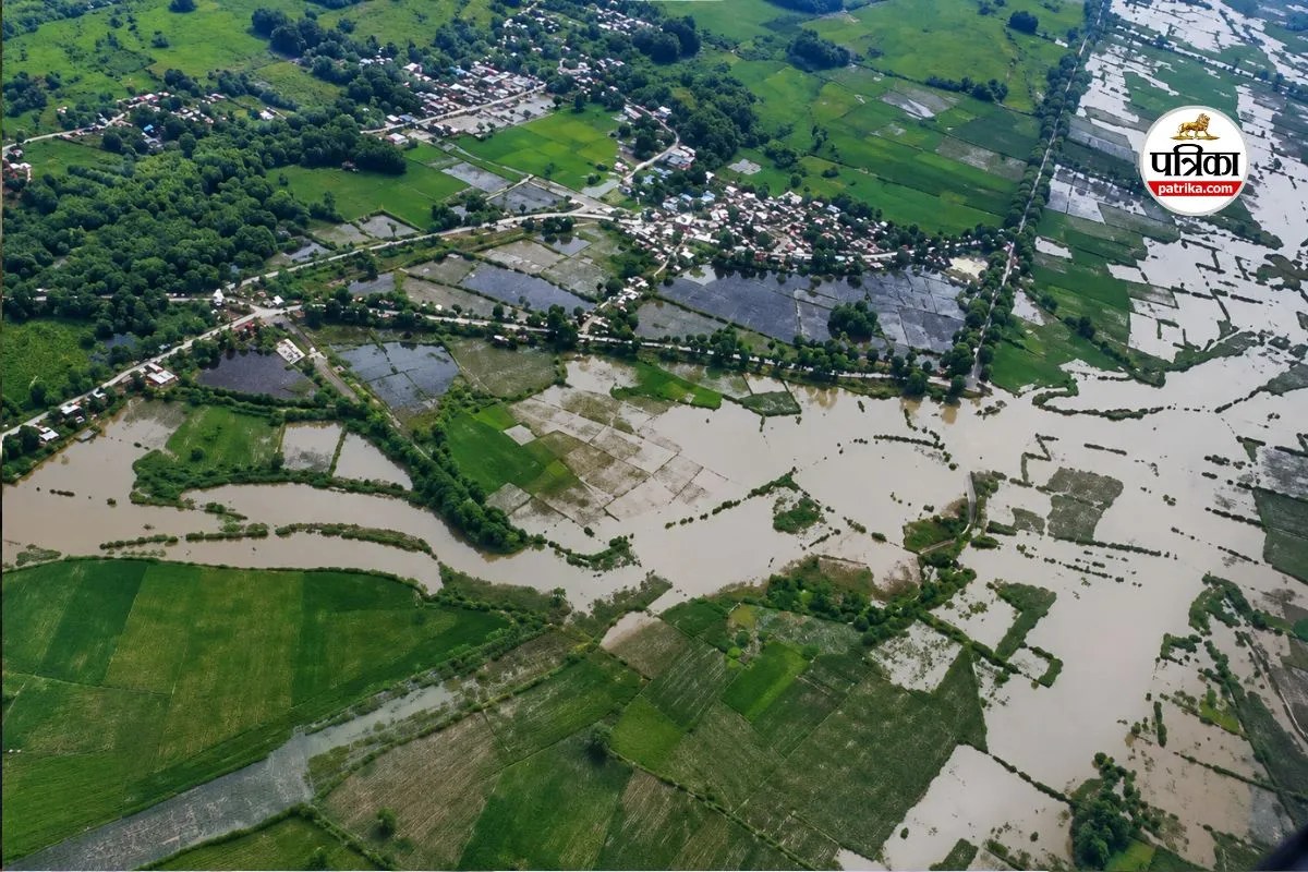
Catastrophic environmental events in high altitude mountain ranges rarely respect sovereign borders, yet the institutional mechanisms designed to anticipate them are strictly bound by national jurisdictions. When a massive glacial collapse and subsequent debris flow tore through the Lhende Khola and Bhote Koshi river systems along the Nepal Tibet border, the immediate physical devastation was swiftly followed by an institutional information vacuum. Official estimates place the death toll in the hundreds, with over a thousand individuals missing across Rasuwa and Nuwakot districts in Nepal and Gyirong County on the Chinese side. Beyond the immediate tragedy of lost human life and the obliteration of critical infrastructure, including multiple hydropower plants and arterial roads, the event triggered a sharp diplomatic friction point regarding attribution, early warning telemetry, and state responsibility.
The core dispute centers on competing narratives concerning the genesis of the flash flood. Initial domestic assessments in Kathmandu pointed toward the potential failure of a geological disaster barrier or a constructed impediment upstream on the Chinese side of the border. Public and media discourse rapidly questioned whether upstream authorities possessed advanced satellite monitoring capabilities that could have preempted the disaster and transmitted timely warnings down the gorge. In response, official channels from Beijing forcefully rejected the dam collapse narrative, categorizing the allegations as misinformation while maintaining that the trigger was an autonomous glacial collapse or earthquake-like seismic event originating entirely within the geographical parameters of the Nepali side. This blame assignment dynamic obscures the underlying mechanical reality of high altitude cryospheric hazards.
Dissecting the physical mechanics reveals a complex sequence that validates neither simplistic political narrative entirely. Analysis from the United States Geological Survey demonstrated that the seismic signature initially logged as a moderate earthquake was actually generated by a massive mass wasting event. A segment of a glacier measuring thousands of feet wide dropped from an extreme altitude, transforming into an extraordinarily mobile debris flow. The sheer velocity of the impact converted ice and rock into a liquefied torrent, displacing river water and creating an unstable, temporary debris dam within narrow gorges. When this natural blockage failed under hydrostatic pressure, it unleashed a wall of water that raised river levels by nearly ten meters within thirty minutes. The mechanics of this disaster demonstrate that high altitude geomorphic hazards operate on timescales too compressed for conventional bureaucratic communication channels, regardless of which side of a border the initial mass detachment occurs.
The systemic vulnerability of the transboundary river basin exposes three distinct operational failures in regional disaster risk reduction. The first failure lies in real time data telemetry deficits. While regional actors maintain sophisticated remote sensing apparatuses, the translation of raw satellite telemetry and seismic wave signatures into actionable local warnings remains hindered by bureaucratic latency. In narrow Himalayan gorges where the time of concentration for a flash flood is measured in minutes, data that requires manual interpretation or diplomatic clearance is functionally useless. The second failure involves asymmetric infrastructure exposure. Downstream communities and economic assets, such as the Trishuli and Rasuwagadhi hydropower installations, bear a disproportionate share of the catastrophic risk generated by upper basin cryospheric instability. The third failure is the absence of a unified, automated hydro-meteorological data sharing protocol that bypasses political friction during critical windows.
Addressing these structural vulnerabilities requires moving beyond diplomatic posturing and establishing a functional framework for cross border hazard management. The path forward demands the implementation of automated, sensor-driven early warning networks deployed directly at high risk glacial zones, programmed to transmit raw telemetry simultaneously to disaster management centers in both capitals without human intervention or political delay. Furthermore, infrastructure planning along the Bhote Koshi and Trishuli corridors must factor in revised probable maximum flood models that account for rapid climate-induced glacial destabilization. Bilateral cooperation must shift from retroactive attribution disputes to proactive joint risk assessments, ensuring that technical data regarding cryospheric anomalies is treated as a shared public good rather than a subject for jurisdictional debate.


